Drone Services
Understand your site from the air with aerial photography, video and mapping.
DLL uses drones, proprietary algorithms and software tools to capture aerial data and derive actionable insights .
Certified by the Federal Aviation Administration under 14 CFR Part 107 to conduct commercial drone operations.

Aerial Video
Dynamic Lands Lab provides high-resolution aerial video to help gain a clear, elevated perspective of a site. Drone footage offers both analytical and cinematic value, enabling you to better understand spatial relationships, site conditions, and surrounding context while also showcasing your property through visually compelling, professional-quality video. Ideal for project documentation, stakeholder presentations, and real estate marketing.
NADIR (Orthographic)
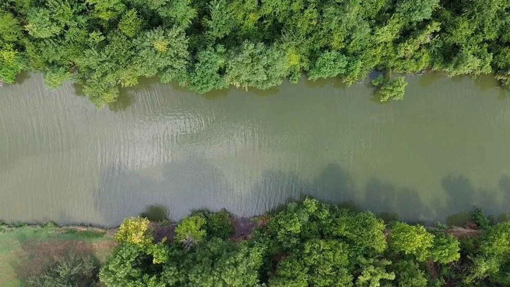
NADIR imagery is taken when the camera is pointed straight down at 90° to the ground. This imagery can be orthorectified and used to create maps using Dynamic Land Labs custom-built NADIR mapping toolkit.
Oblique (Angled)
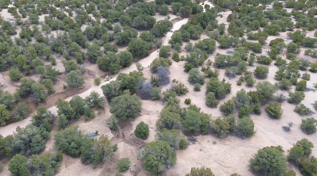
Oblique imagery is typically taken when the camera is angled between 30° to 60° relative to the ground. This imagery is ideal for building documentation to and providing context for 3D modeling.
Oblique imagery can also be taken in Low Oblique (~30°–45°) and High Oblique (<30°) angles depending on your imagery needs.